Santocha, Capbreton
Since the installation of the Santocha observation station in October 2021, many citizens have contributed to a better knowledge of the evolution of the coastline. Through this page, you can :
- find more information on the Santocha’s beach;
- trace the evolution of the site via video timelapses;
- access the image gallery from the observation station;
- and compare two photos previously selected in the image gallery.
Location
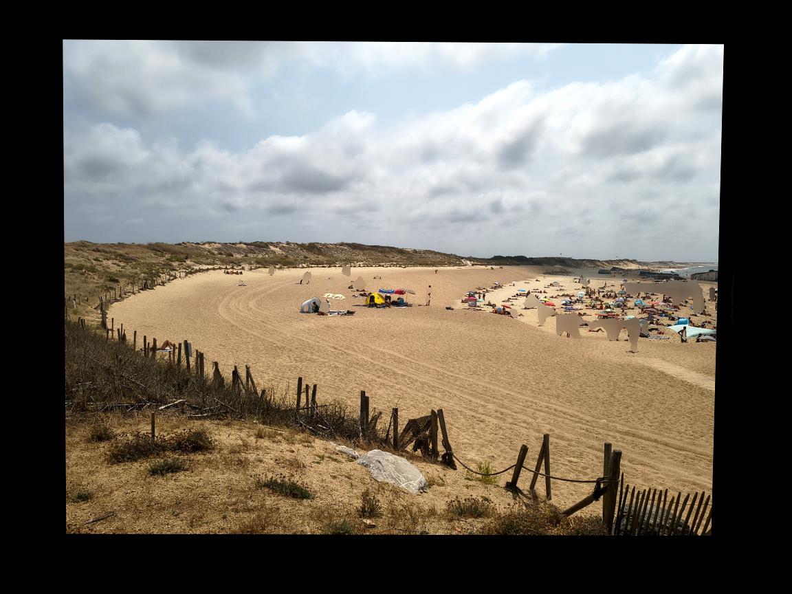
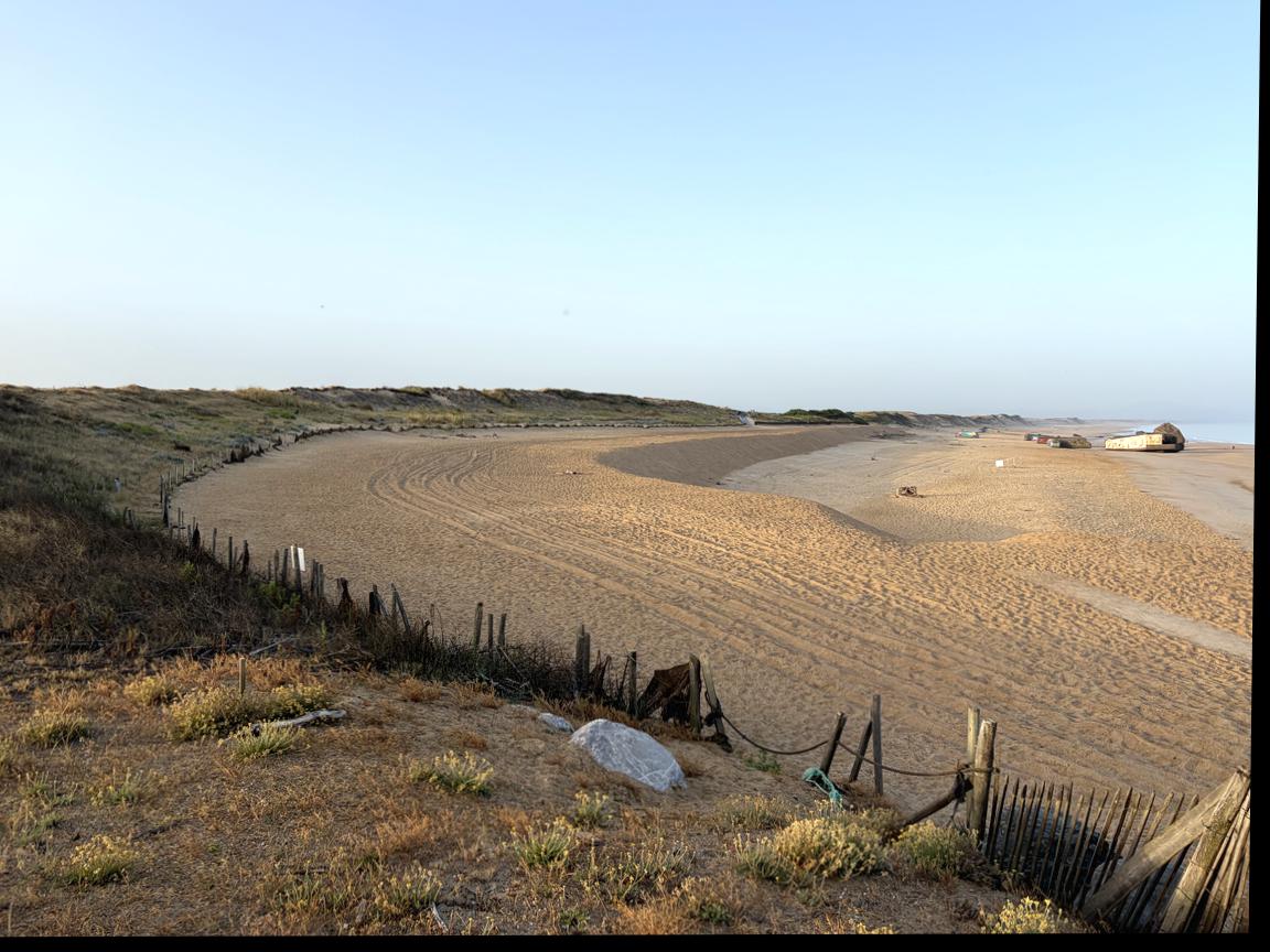
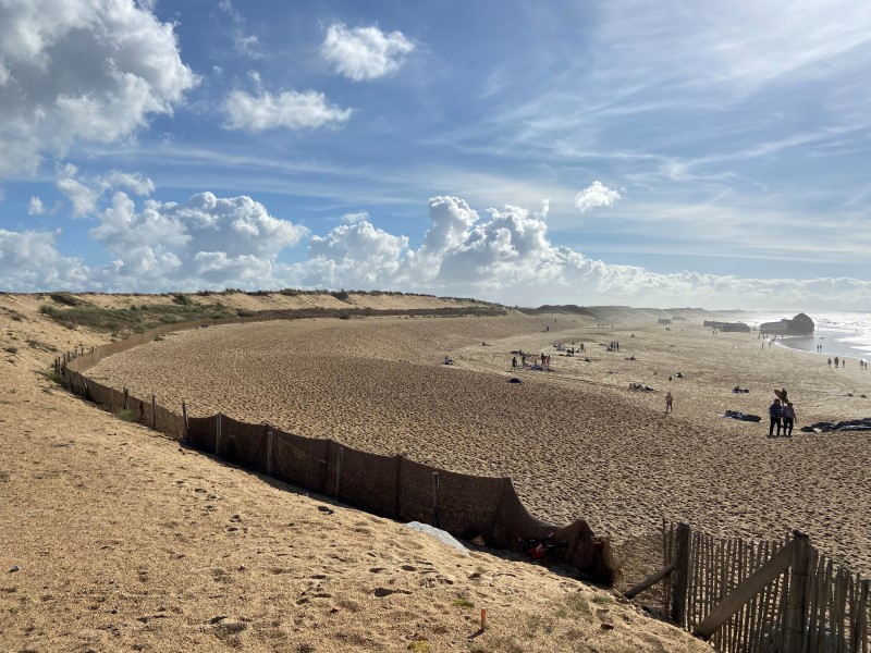
Santocha beach, next to the heliport on the dune overlooking the beach. View to the south.
Characteristics
Downstream beach - protected waterfront drift
Evolution
Chronic erosion: 3 metres per year
Management mode
Beach regularly recharged with sand by a hydraulic bypass
Find more information on the website of the town of Capbreton
Last news
Launch of CoastSnap Nouvelle-Aquitaine in La Tremblade, Charente-Maritime
A new CoastSnap observation station has just been installed in Nouvelle-Aquitaine, on the Embellie beach in La Tremblade, Charente-Maritime. It is the 7th CoastSnap station
Launch of the Sea-Clic Project: Building a Community of Coastal Observers
What if a community of citizen observers could actively support scientists in monitoring the coastline through photos taken from a fixed point? This is the
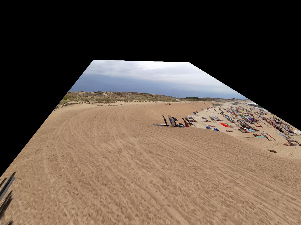
The evolution of the coastline in video
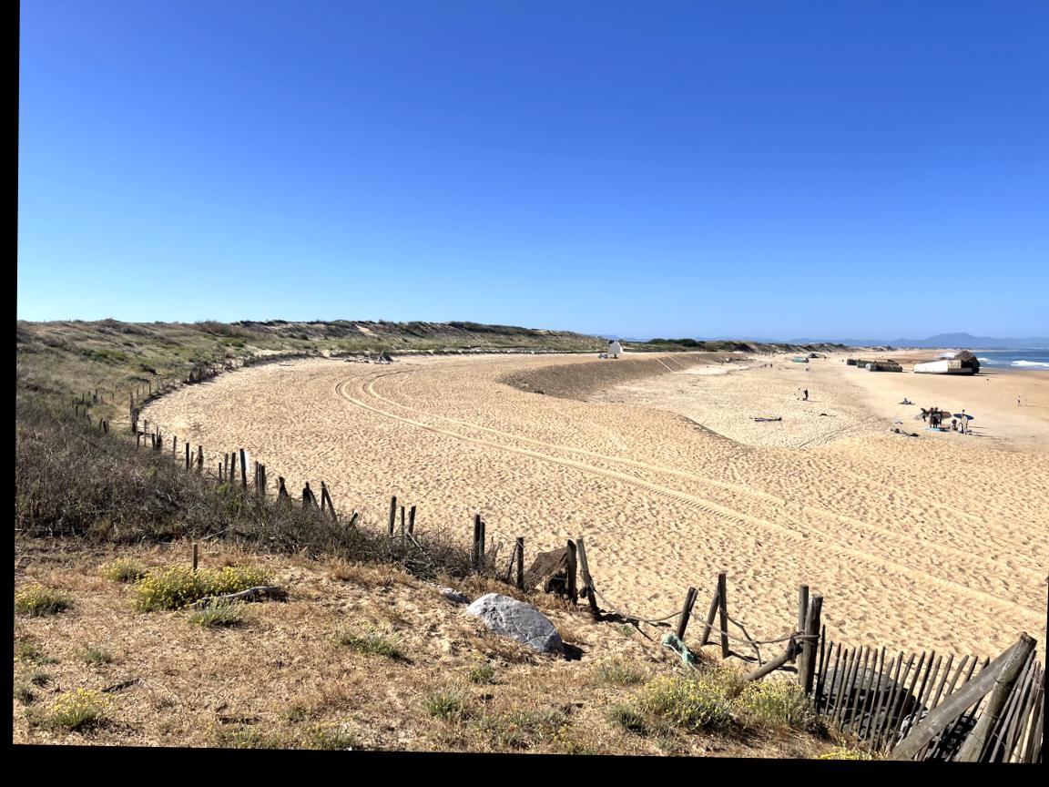
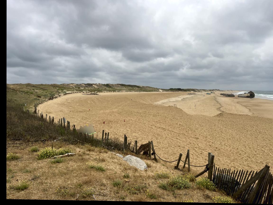
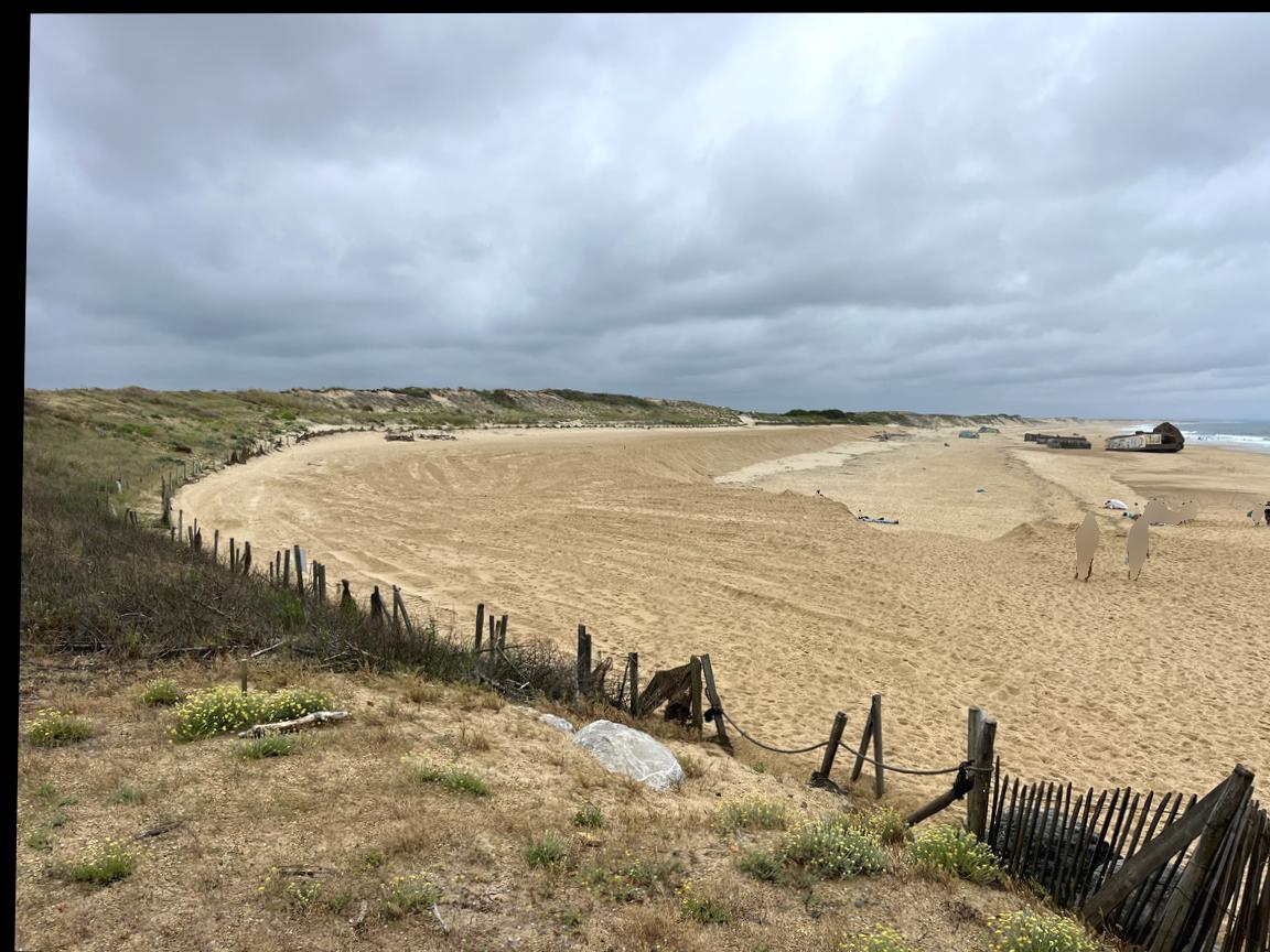
Discover in pictures the evolution of the Santocha beach between December 2021 and December 2022
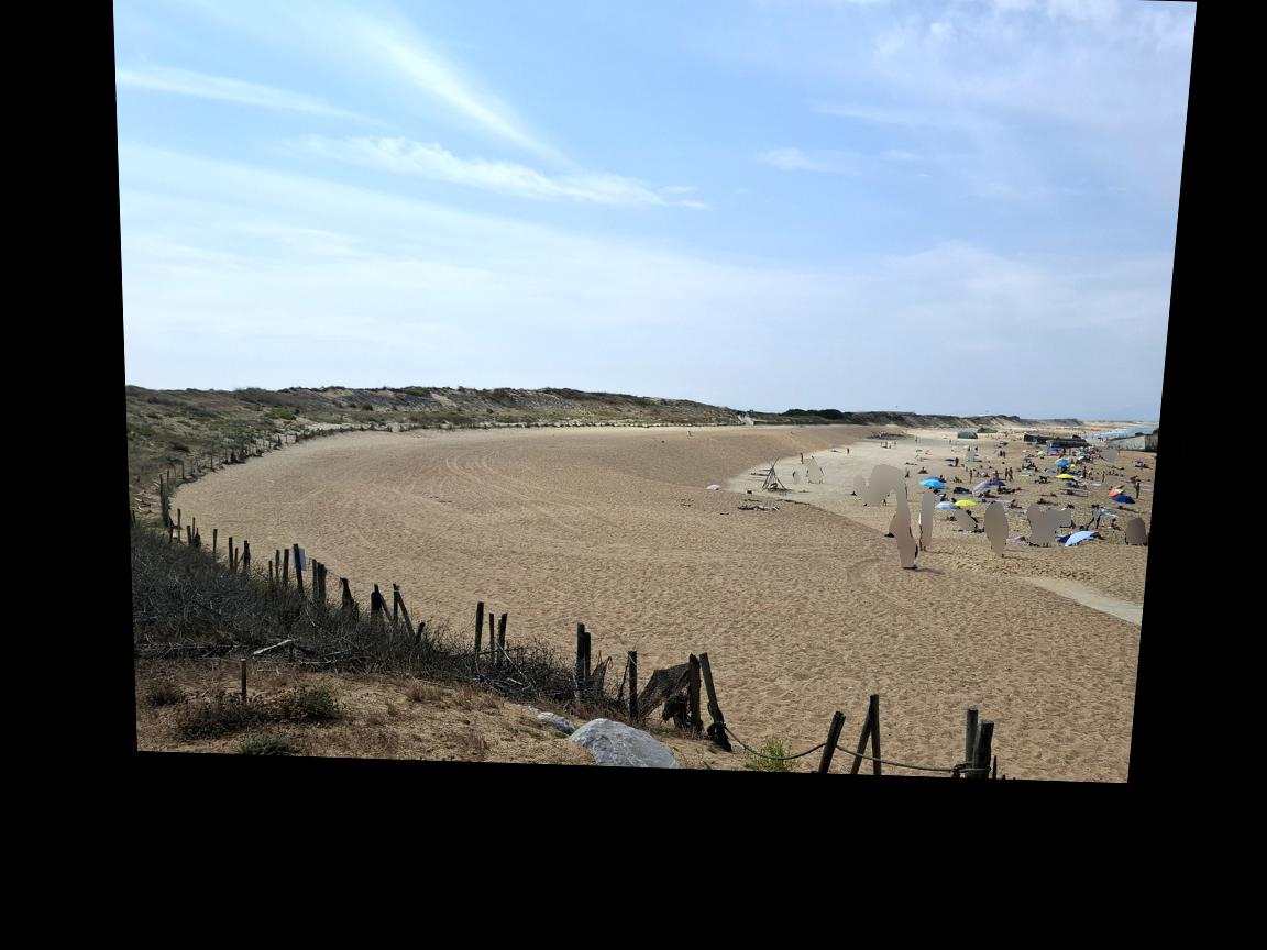
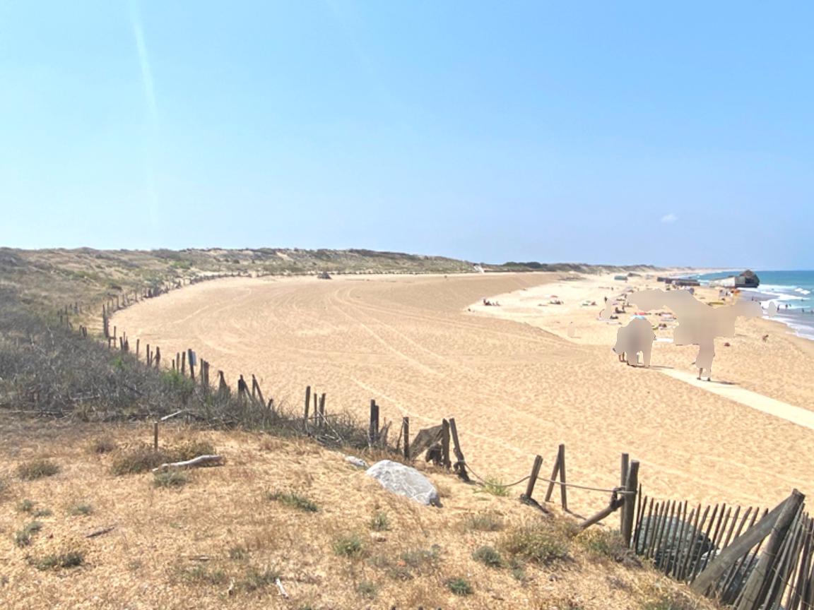
Citizens's photos
You can choose to display the photos according to several criteria below and select 2 photos to compare them.
Filters
Select two images from the gallery to be able to open the comparator.
You have selected 1 image.
Before and after: it's up to you!
Want to see the evolution of the Santocha beach? Select two photos from the photo gallery above to compare the evolution of the beach.

Convinced? See you on the beach!