The coastline is changing,
help us to keep track of it!
About the project
The coastline of Nouvelle-Aquitaine is an exceptional territory, attractive, preserved but also mobile and fragile. Subject to the phenomena of coastal erosion and marine submersion, the coastline of our region sometimes evolves very rapidly, putting certain issues and human activities at risk.
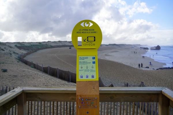
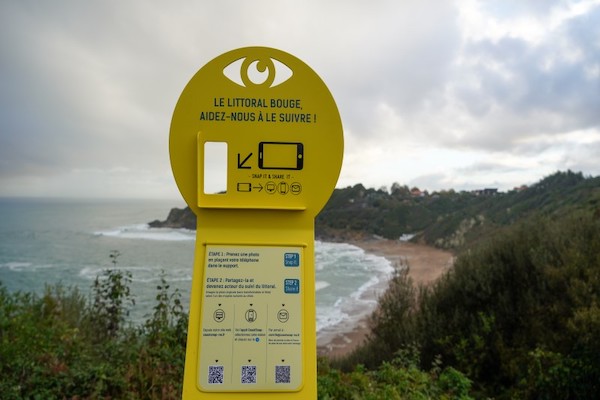
Inspired by an Australian initiative called CoastSnap, this participatory science project invites you to become a privileged observer of coastal changes and thus contribute to a better knowledge and awareness of the vulnerability of the coast to natural risks.
This initiative is part of the Coastal Observatory of Nouvelle-Aquitaine.
How can you contribute?
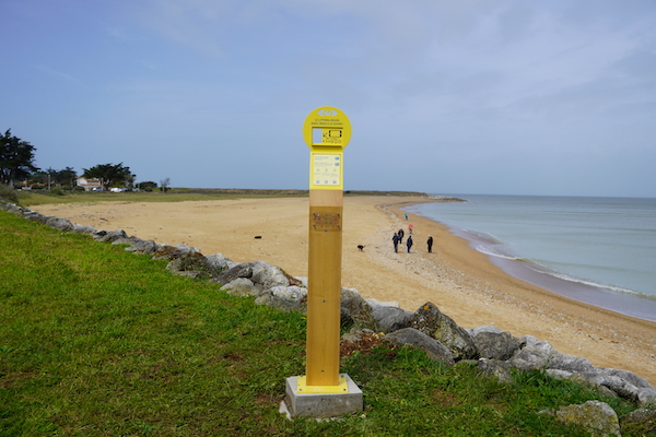
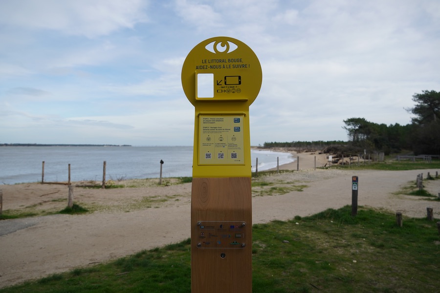
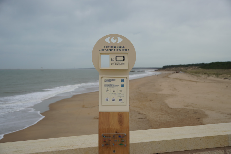
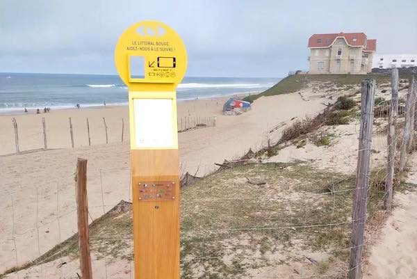
If you pass by a site equipped with a CoastSnap observation station, we invite you to take a photo of the beach and send it to us.
It’s easy to do:

Take a picture by placing your phone in the metal craddle of the station.
Send us your original photo, without transformation or filter.
CoastSnap stations in Nouvelle-Aquitaine region
If you pass by one of these beaches, find our observation station to take a picture of the coastline and share it!


